surveying software - datascrip.com · surveying software type carlson survey carlson civil carlson...
TRANSCRIPT
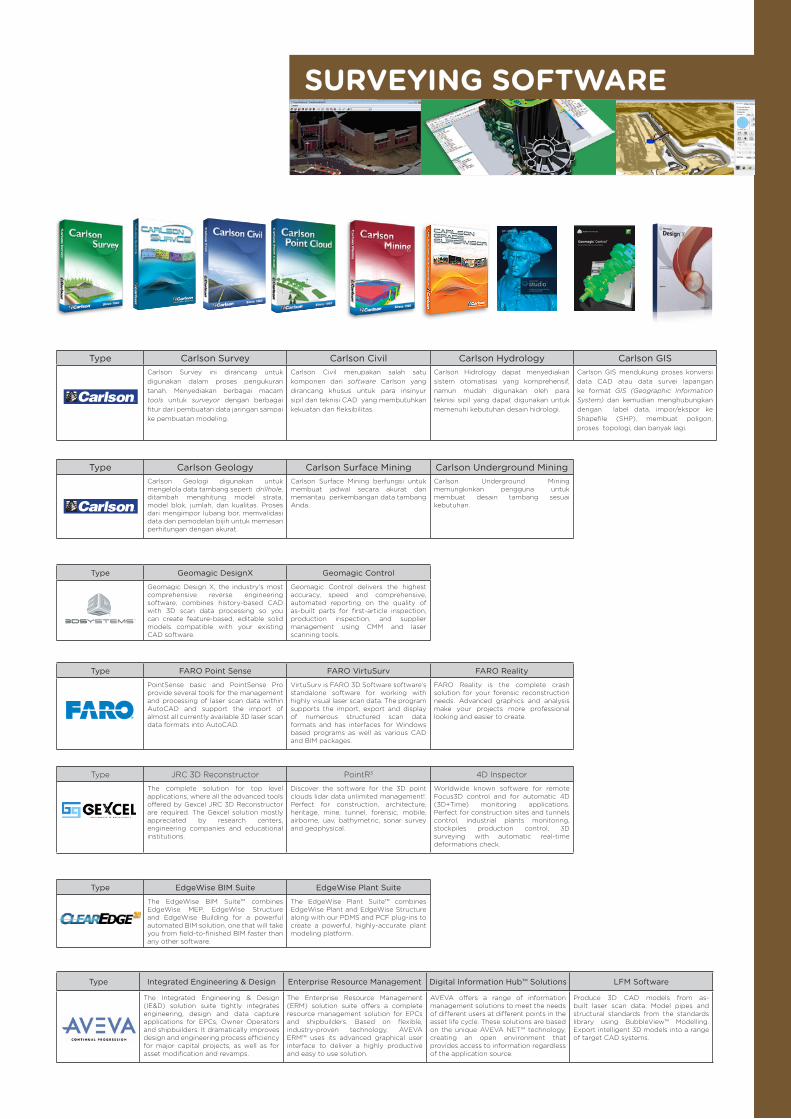
SURVEYING SOFTWARE
Type Carlson Survey Carlson Civil Carlson Hydrology Carlson GISCarlson Survey ini dirancang untuk digunakan dalam proses pengukuran tanah. Menyediakan berbagai macam tools untuk surveyor dengan berbagai fitur dari pembuatan data jaringan sampai ke pembuatan modeling.
Carlson Civil merupakan salah satu komponen dari software Carlson yang dirancang khusus untuk para insinyur sipil dan teknisi CAD yang membutuhkan kekuatan dan fleksibilitas.
Carlson Hidrology dapat menyediakan sistem otomatisasi yang komprehensif, namun mudah digunakan oleh para teknisi sipil yang dapat digunakan untuk memenuhi kebutuhan desain hidrologi.
Carlson GIS mendukung proses konversi data CAD atau data survei lapangan ke format GIS (Geographic Information System) dan kemudian menghubungkan dengan label data, impor/ekspor ke Shapefile (SHP), membuat poligon, proses topologi, dan banyak lagi.
Type Carlson Geology Carlson Surface Mining Carlson Underground MiningCarlson Geologi digunakan untuk mengelola data tambang seperti drillhole, ditambah menghitung model strata, model blok, jumlah, dan kualitas. Proses dari mengimpor lubang bor, memvalidasi data dan pemodelan bijih untuk memesan perhitungan dengan akurat.
Carlson Surface Mining berfungsi untuk membuat jadwal secara akurat dan memantau perkembangan data tambang Anda.
Carlson Underground Mining memungkinkan pengguna untuk membuat desain tambang sesuai kebutuhan.
Type Geomagic DesignX Geomagic Control
Geomagic Design X, the industry's most comprehensive reverse engineering software, combines history-based CAD with 3D scan data processing so you can create feature-based, editable solid models compatible with your existing CAD software.
Geomagic Control delivers the highest accuracy, speed and comprehensive, automated reporting on the quality of as-built parts for first-article inspection, production inspection, and supplier management using CMM and laser scanning tools.
Type FARO Point Sense FARO VirtuSurv FARO Reality
PointSense basic and PointSense Pro provide several tools for the management and processing of laser scan data within AutoCAD and support the import of almost all currently available 3D laser scan data formats into AutoCAD.
VirtuSurv is FARO 3D Software software’s standalone software for working with highly visual laser scan data. The program supports the import, export and display of numerous structured scan data formats and has interfaces for Windows based programs as well as various CAD and BIM packages.
FARO Reality is the complete crash solution for your forensic reconstruction needs. Advanced graphics and analysis make your projects more professional looking and easier to create.
Type JRC 3D Reconstructor PointR3 4D Inspector
The complete solution for top level applications, where all the advanced tools offered by Gexcel JRC 3D Reconstructor are required. The Gexcel solution mostly appreciated by research centers, engineering companies and educational institutions.
Discover the software for the 3D point clouds lidar data unlimited management!. Perfect for construction, architecture, heritage, mine, tunnel, forensic, mobile, airborne, uav, bathymetric, sonar survey and geophysical.
Worldwide known software for remote Focus3D control and for automatic 4D (3D+Time) monitoring applications. Perfect for construction sites and tunnels control, industrial plants monitoring, stockpiles production control, 3D surveying with automatic real-time deformations check.
Type EdgeWise BIM Suite EdgeWise Plant Suite
The EdgeWise BIM Suite™ combines EdgeWise MEP, EdgeWise Structure and EdgeWise Building for a powerful automated BIM solution, one that will take you from field-to-finished BIM faster than any other software.
The EdgeWise Plant Suite™ combines EdgeWise Plant and EdgeWise Structure along with our PDMS and PCF plug-ins to create a powerful, highly-accurate plant modeling platform.
Type Integrated Engineering & Design Enterprise Resource Management Digital Information Hub™ Solutions LFM Software
The Integrated Engineering & Design (IE&D) solution suite tightly integrates engineering, design and data capture applications for EPCs, Owner Operators and shipbuilders. It dramatically improves design and engineering process efficiency for major capital projects, as well as for asset modification and revamps.
The Enterprise Resource Management (ERM) solution suite offers a complete resource management solution for EPCs and shipbuilders. Based on flexible, industry-proven technology, AVEVA ERM™ uses its advanced graphical user interface to deliver a highly productive and easy to use solution.
AVEVA offers a range of information management solutions to meet the needs of different users at different points in the asset life cycle. These solutions are based on the unique AVEVA NET™ technology, creating an open environment that provides access to information regardless of the application source.
Produce 3D CAD models from as-built laser scan data. Model pipes and structural standards from the standards library using BubbleView™ Modelling. Export intelligent 3D models into a range of target CAD systems.